 Did you know you can change the government, get groceries and get lost all in the same day? You have to start early.
We got up at about 6:00 on Saturday, Jan. 14th, because it was Taiwan's Election Day. (Ping was voting for herself, of course. As you know, we won in a landslide--see previous post!)
Ping's parents arrived for coffee before they all went over to the high school a few blocks away to cast their ballots. It didn't take long; Mark had just finished mopping the floors when they got back. Then it was off to Costco, sort of a bi-weekly ritual with us and the folks. We get a few staples like good bread and an especially yummy yoghurt we can't get in the States. Baba (Ping's dad) wanted to be sure we went before Chinese New Year when pretty much everything shuts down for a couple of weeks.
Back at the house after our usual Costco hot dog brunch, Ping and Mark wondered how to celebrate our imminent election. Since it wasn't raining (yet), Mark suggested we "go get lost and see if we can find our way back." Ping had found a somewhat outdated but still useful map online, so she printed it out. We packed water, food, and the obligatory umbrellas, and then headed out. Ah, yes: the cameras! We didn't forget them this time.

"Sure, let's go take a look!"
We thought we might be able to hook up with the trail down one alley. Um, apparently not.
Okay, turn around, head back and try another alley.

 At the trail head, we decided to see if we could get to Miantian Shan 面天山 (pronounced "Myen-tyen"). It tops out at about 988 meters.
Soon we came across half a dozen beautiful dark brown butterflies enjoying the flowers!

 We'd been on this trail before so we knew we'd find some great looking trees ahead.
Indeed!
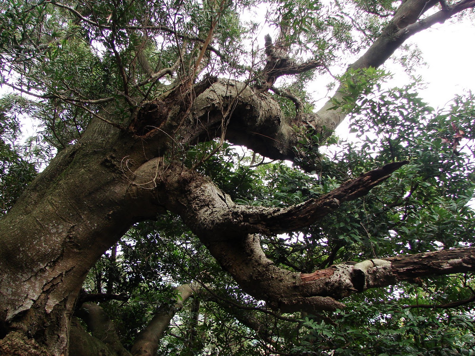
This one is amazing from all different angles!


 Nearby stood a brilliant maple!
This is the view looking back down the trail from the school.

 We've seen the huge, yellow roof of this massive temple up on the hill but we'd never been there. It was closed. Closed? Can temples be "closed?" Turns out it's not a public temple; it's a mausoleum for a particular family. They don't mind you wandering around, though. It was very peaceful, with a fantastic view. Sunsets from here would be amazing.

This is the view looking northwest to the Keelung 基隆河 and Danshui Rivers 淡水河 from the top of the temple steps.
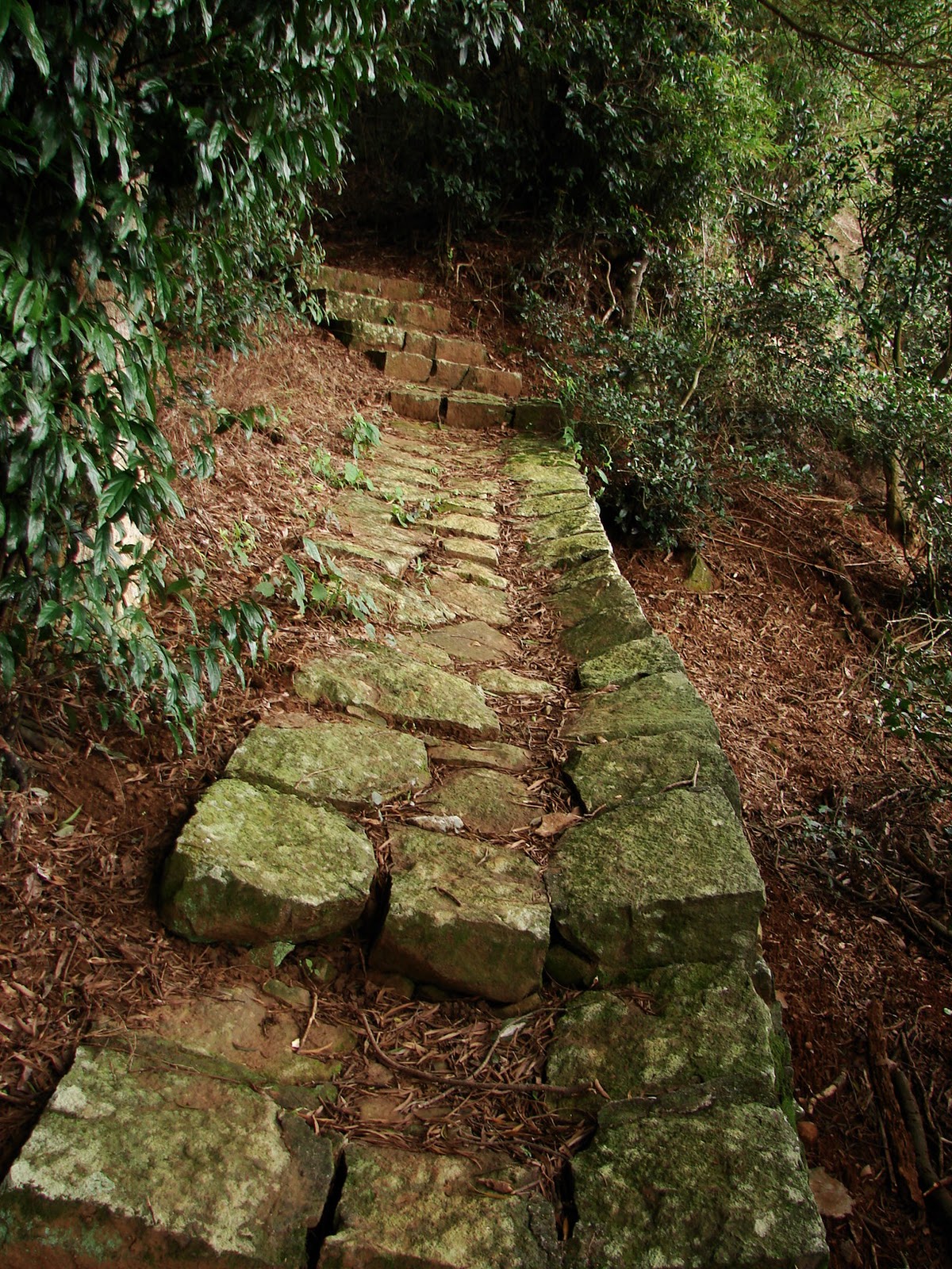
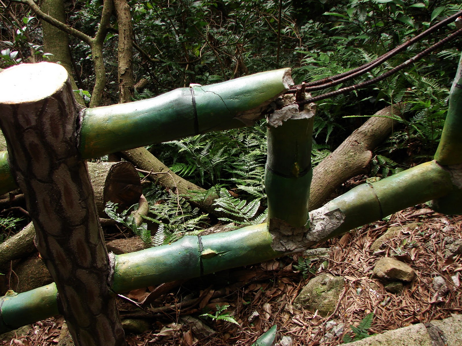
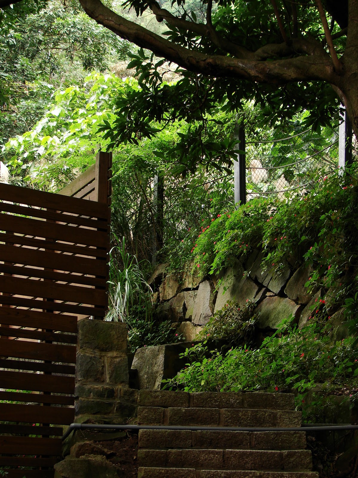
 We went back to our trail and left the "temple" behind. The paving stones were just set on the ground, without mortar, but they were impressively stable.
We climbed steeply upward until...hey! The trail goes around a tight corner and just heads back down! That's not right! Ping consulted the map. Hmmm.... where the heck?!

 We could either go even more steeply back down the other side of the "loop," or we could follow a faint "user trail" (right) marked by several strips tied to foliage. Well, clearly some people use this. Mark investigated. Yeah, it topped out on a ridge and then met a larger trail; no steps, though. We decided to try it.
...whoa! We found ourselves back in Mirkwood! The trail was very faint. The sun came through the trees and we just stood entranced for several minutes, oohing, ahhing, taking pictures and waving away mosquitoes.


 Ping used her cell phone to call the number on the tag. The message was
as indecipherable as the "trail." We decided pressing onward wasn't
worth the risk of stepping on something that could be unsupported or
housing snakes of some sort.
Ping used her cell phone to call the number on the tag. The message was
as indecipherable as the "trail." We decided pressing onward wasn't
worth the risk of stepping on something that could be unsupported or
housing snakes of some sort.
 Ping had noted how happy she was that we wouldn't have to go back down that rather slick user trail. Well, it turns out, we did. Back we went, down the user trail, and down that ridiculously steep set of stairs we'd decided earlier not to take. They were definitely taller than they were deep! We had to go sideways, one stair at a time. These were the most overgrown stairs we've been on so far.
 So here we were again, back on the other side of the mausoleum now. (Apparently, the trail was built so the ghosts could do laps.)
On this side of the mausoleum, we found the entrance to the trail we were actually intending to take! It was much easier and better maintained. The mix of bamboo and maple is still a bit surreal.
 We continued up, greeted by beauty everywhere we turned!
 We were still in Mirkwood, only the trail was much easier to follow.


The trail was lined with little white dots, hundreds of buds just about to open!
This picture is of one of the early risers.
Just after this, the trail came to the road again. We wandered over to another temple which Ping confirmed was Qing Tian Gong 清天宮, the turnaround point for the Xiao Liu 小6 ("Small Six") bus.
Waiting for the bus was a woman wearing hiking shoes and carrying a good sized backpack. Ping asked her a few questions and got a wealth of information! This lady hikes this place all the time. When the bus arrived, she had to go but she was still telling us everything she could think of about the area. The bus disgorged about a dozen more hikers with backpacks and trekking poles.
"Where are you going?" Ping asked as they gathered at the base of the uphill road.
"Miantian Shan!" they replied. "This is the usual trail head."
Wait, all that hiking and we just now got to the trail head??

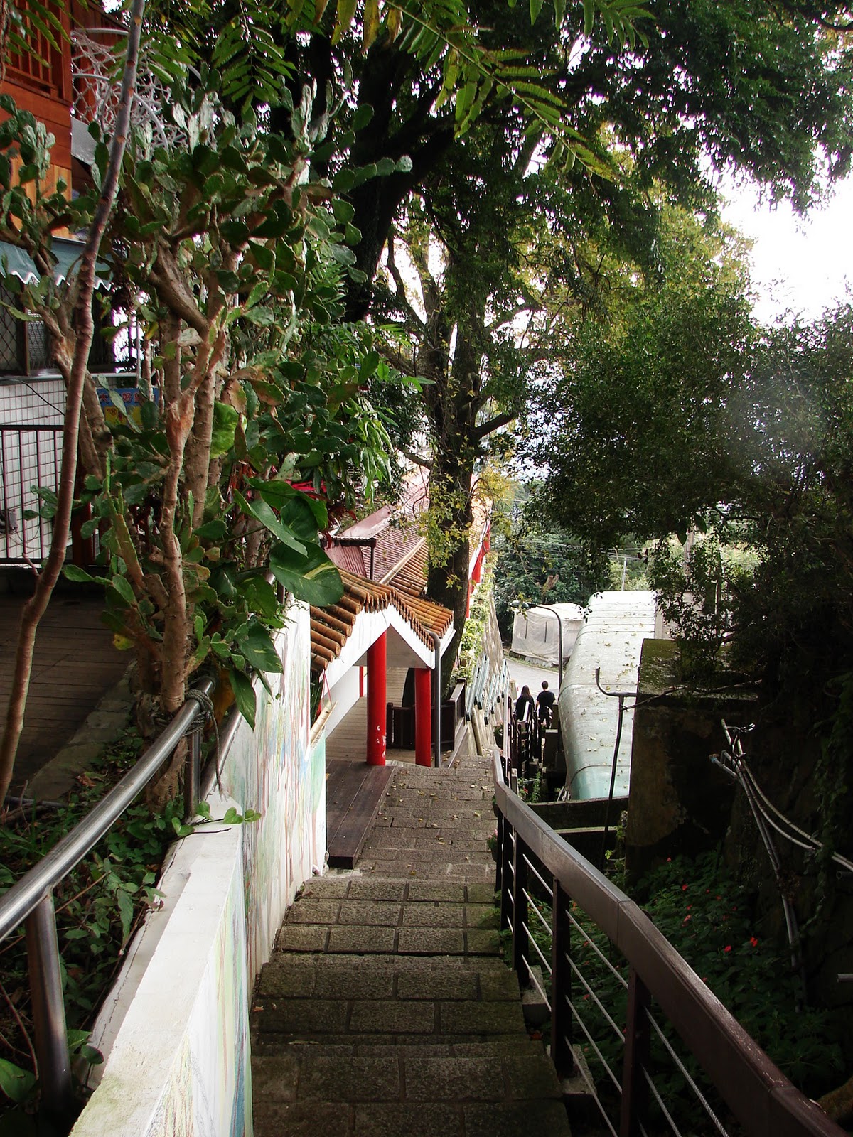
...to the polling station at the high school! Full circle.
We elected to go home and take a shower.
No comments:
Post a Comment